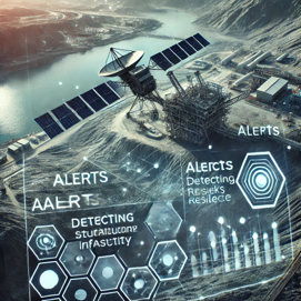
Our Story

We are satellite application company committed to enhance Mine Safety, Efficiency, and Sustainability through smart,   AI-driven technology. Mapping satellite data, we help miners to overcome critical challenges from pit safety and productivity to resource detection and environmental compliance delivering

 deeper insight with greater precision.

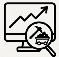
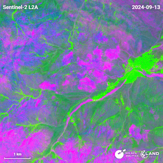
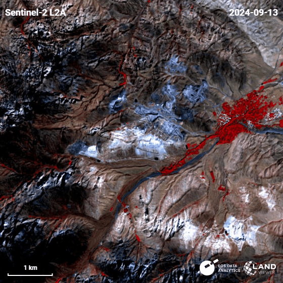
Technology That Sees Beyond

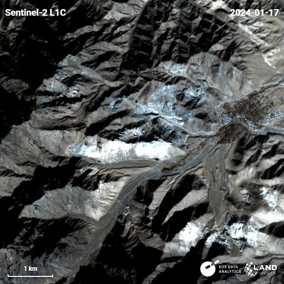
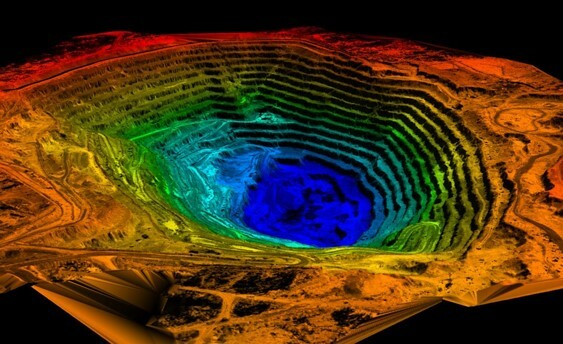
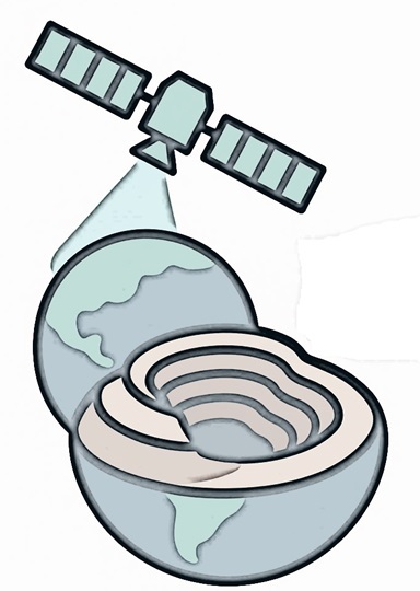
Harnessing advanced satellite analytics and AI, our platform delivers near real-time insights into mining operations. From pit monitoring to stockpile tracking, we empower data-driven decisions with the scale, precision, and foresight only space-based technology can provide.

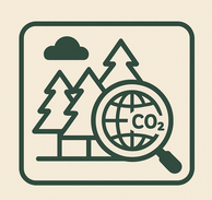
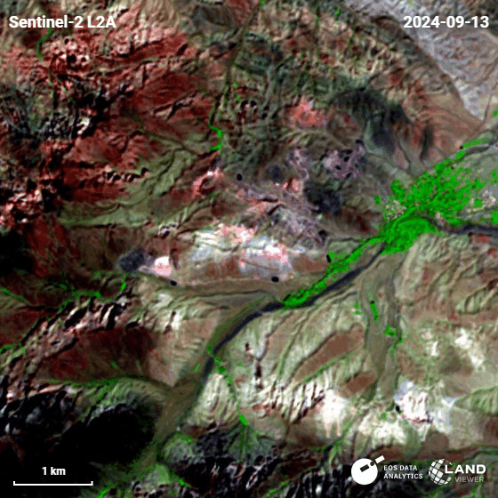
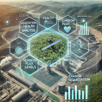
Driving Sustainable Mining Outcomes

We help mining operations align with modern environmental standards through continuous satellite-based monitoring. By tracking land use, emissions, and ecological impact, our solutions support long-term sustainability while reducing compliance risk and operational footprint.

Our Team

We are a mission-driven team of engineers, data scientists, and innovators with a shared commitment to reshaping the future of mining. With deep technical expertise and a passion for meaningful impact, we develop smart solutions that prioritize the safety of mine workers, protect the environment, and support responsible growth.

For us, it's not just about technology — it's about safeguarding the people who power this industry and preserving the planet for the generations to come.

Mansoureh Abbasy

CEO

Our CEO brings vision and technical leadership to WeMine, leveraging her background as a satellite systems engineer to drive innovation and sustainability in mining through advanced space-based solutions.

Mohammad Aghaei

Business Analyst

Our Business Analyst extracts insights from data, helping clients make informed decisions and optimize strategies.

Sajjad Ghazanfarinia

Strategy Consultant

Our Strategy Consultant crafts innovative plans and strategy to drive growth and profitability for clients world wide.

Our Core Strengths

Explore our services to see how we turn satellite intelligence into actionable insights for your business.

Detect habitat changes over time and Ensure compliance with BNG regulations.

Multiple Spatial Spectral Temporal Resolution of Data Available

Analyzing Data for Dedicated Needs of Customers and Generating Reports

Increase Deposit VS Total Extraction

Providing Plans for Mine ReBirth after their End of Operation

Radar Data for Slope Stability, Customized Warnings for Gas Detection and Monitoring Infrastructure

Identifying areas for afforestation or reforestation.

Monitoring Effects on Ecosystem

Tracking carbon flux in the area

Latest Case Studies

These are just a few examples of our successful collaborations with forward-thinking businesses. Each project represents a commitment to excellence and a dedication to sustainable growth.

01

Monitoring during Operation

•Map and monitor ecosystems
•Detect habitat changes over time
•Ensure compliance with BNG regulations


Facing limitations with traditional monitoring tools and rising data collection costs, our client — a granite stone mining operation — sought a more scalable way to understand its evolving landscape. Partnering with WeMine, they gained access to satellite imagery powered by our Satellite fleet and advanced optical change detection.

This solution offered a wide-area, on-time view of their site — from Terrain Shifts and Route Mapping to Snow Cover and River Flow — enabling deeper visual insight by a Big Picture at a fraction of the cost of ground-based methods like drones. With improved observation frequency and enhanced regulatory reporting, the operation is now better equipped to plan proactively and operate efficiently.

This project showcases how satellite innovation can bridge the information gap for traditional mining operations — offering clarity, scale, and sustainability.


Project duration: On going

02

Environmental Watch

• Verifying carbon storage (e.g., monitoring vegetation growth and soil health).
Identifying areas for afforestation or reforestation.
• Tracking carbon flux in near real-time.


To build on their understanding of site conditions, our client leveraged WeMine’s false color satellite imagery — offering enhanced visibility into vegetation coverage, surface moisture, and recent terrain disturbances. Using Sentinel-2 data and spectral band processing, the team could differentiate active zones from reclaimed or undisturbed areas with greater clarity.

This added spectral insight supports better environmental oversight and operational planning — helping the mine stay ahead of regulations while reducing risks tied to unstable or saturated ground. It's another example of how layered satellite intelligence can bring unseen details to light.

Project duration: On going

03

Safety Warning

• Detecting structural deformations or failures (subsidence)
• Monitoring disaster risks (flooding or landslides).
Providing early warnings for potential hazards.

To gain a temporal understanding of surface changes, our client integrated infrared time-lapse imaging into their monitoring workflow. By analyzing IR sequences from Sentinel-2 over weeks and months, the team could observe shifts in moisture, vegetation health, and disturbed ground with enhanced clarity.

This dynamic view offered early insights into potential risk zones, improved planning for excavation and drainage, and supported regulatory reporting with visual evidence of site evolution. With WeMine’s satellite-driven approach, complex surface patterns become easier to track — unlocking smarter, safer mining decisions over time.

Project duration: On going

04

Consult

• Integrated Monitoring: Key part of a multi-band strategy for responsive oversight
Deeper Ground Insight: Improved understanding of surface composition and conditions.
• SWIR Precision: Detected moisture, mineral content, and subtle surface changes.
• Smarter Classification: Enabled clearer material separation and early risk detection.

WeMine delivered deeper insight into surface composition and ground conditions at the mine site. SWIR’s sensitivity to moisture and mineral content helped highlight excavation zones, detect subtle surface shifts, and distinguish between rock types and disturbed soils.

This spectral layer empowered the client with sharper material classification and early risk awareness — offering a clearer picture of operational impact and environmental exposure. As part of a multi-band strategy, SWIR imagery plays a vital role in smarter, more responsive mine oversight.

Project duration: On going

 3D Terrain Mapping

To provide a more intuitive view of site topography, WeMine generated a high-resolution 3D map of the mining area using satellite-derived elevation data. This visualization enables teams to explore elevation changes, slopes, and natural drainage patterns — critical factors in both operational planning and safety management.

By transforming complex terrain data into an accessible 3D format, the client gained a powerful tool for pit design, route optimization, and stakeholder communication. This is another step toward turning satellite intelligence into practical, day-to-day mining decisions.


Operation Monitoring by Satellite Images in Visible Bands


Facing limitations with traditional monitoring tools and rising data collection costs, our client — a granite stone mining operation — sought a more scalable way to understand its evolving landscape. Partnering with WeMine, they gained access to satellite imagery powered by our Satellite fleet and advanced optical change detection.

This solution offered a wide-area, on-time view of their site — from Terrain Shifts and Route Mapping to Snow Cover and River Flow — enabling deeper visual insight by a Big Picture at a fraction of the cost of ground-based methods like drones. With improved observation frequency and enhanced regulatory reporting, the operation is now better equipped to plan proactively and operate efficiently.

This project showcases how satellite innovation can bridge the information gap for traditional mining operations — offering clarity, scale, and sustainability.

Hidden

Project : Godar Granite Stone

Project Subject: Production History

Hidden

Taking the Benefits of False Color to Findout More about Environment

To build on their understanding of site conditions, our client leveraged WeMine’s false color satellite imagery — offering enhanced visibility into vegetation coverage, surface moisture, and recent terrain disturbances. Using Sentinel-2 data and spectral band processing, the team could differentiate active zones from reclaimed or undisturbed areas with greater clarity.

This added spectral insight supports better environmental oversight and operational planning — helping the mine stay ahead of regulations while reducing risks tied to unstable or saturated ground. It's another example of how layered satellite intelligence can bring unseen details to light.


Hidden

Project: Sepahan Granite Stone

Project Subject: Water Effects

InfraRed Data to Unlock Decision Making in Safety Issues

To gain a temporal understanding of surface changes, our client integrated infrared time-lapse imaging into their monitoring workflow. By analyzing IR sequences from Sentinel-2 over weeks and months, the team could observe shifts in moisture, vegetation health, and disturbed ground with enhanced clarity.

This dynamic view offered early insights into potential risk zones, improved planning for excavation and drainage, and supported regulatory reporting with visual evidence of site evolution. With WeMine’s satellite-driven approach, complex surface patterns become easier to track — unlocking smarter, safer mining decisions over time.

Hidden

Project : Godar Granite Stone

Project Subject: Mine Production

Applying Satellites Images for On Time Alert Generation

WeMine delivered deeper insight into surface composition and ground conditions at the mine site. SWIR’s sensitivity to moisture and mineral content helped highlight excavation zones, detect subtle surface shifts, and distinguish between rock types and disturbed soils.

This spectral layer empowered the client with sharper material classification and early risk awareness — offering a clearer picture of operational impact and environmental exposure. As part of a multi-band strategy, SWIR imagery plays a vital role in smarter, more responsive mine oversight.

Hidden

Project: Elahi Granite Stone

Project Subject: Slope Stability

Get In Touch

Ready to elevate your mining operations with smarter, safer solutions? Get in touch with WeMine today to explore how we can support your goals.